There is a high probability the Lagoon is contaminated
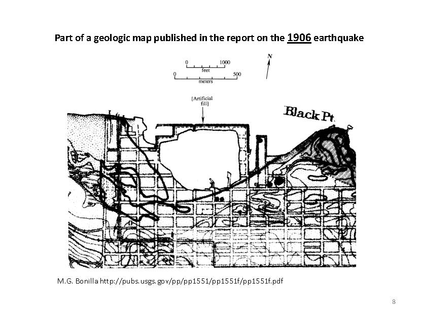
The Lagoon
In the map to the left, the Lagoon is clearly outlined by the 1899 shoreline shown in purple. The outside boundary of the Lagoon was created by Fair’s seawall which ran north along Webster Street, then west along the present-day seawall of the Marina Green, finally jogging back south at Scott and west at Marina Blvd.
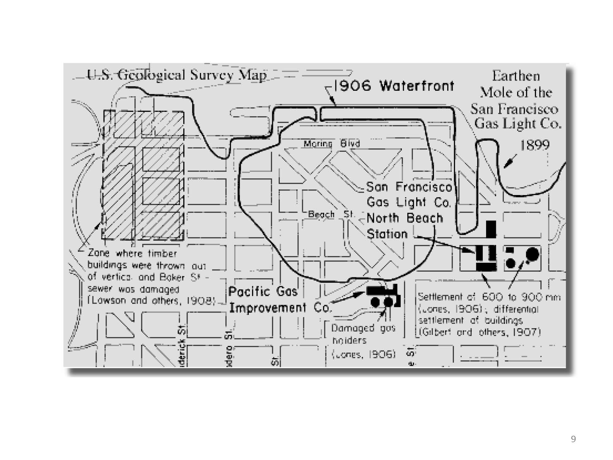
East of the Lagoon, the 1899 shoreline can be seen following the mole of the NOB MGP.
The black stars and years represent the warning signs of contamination. The implications of the 1977 warnings are impossible to ignore.